 vesseltracker.com
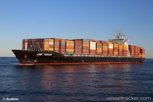
Vessel MSC SHAHAR IMO: 9471238, MMSI: 636020782 Container Ship
UTC, 0.99682, 144.38832, course: 320, speed: 16.9
UTC, 1.44909, 144.02951, course: 321, speed: 17
2026-02-28 00:13:52 UTC, 1.92949, 143.66138, course: 321, speed: 16.9
Live AIS position:
UTC. 289 nm S of Eauripik Atoll),
updated 2026-02-28 00:13:52 UTC.
Find the position of the vessel MSC SHAHAR on the map. The latter are known coordinates and path.
marine traffic ship tracker show on live map
The current position of vessel MSC SHAHAR is 1.92949 lat / 143.66138 lng. Updated: 2026-02-28 00:13:52 UTCCurrently sailing under the flag of Liberia
MSC SHAHAR built in 2011 year
Deadweight:
50134 tDetails:
Last coordinates of the vessel:
UTC, 0.52297, 144.75883, course: 321, speed: 16.5UTC, 0.99682, 144.38832, course: 320, speed: 16.9
UTC, 1.44909, 144.02951, course: 321, speed: 17
2026-02-28 00:13:52 UTC, 1.92949, 143.66138, course: 321, speed: 16.9